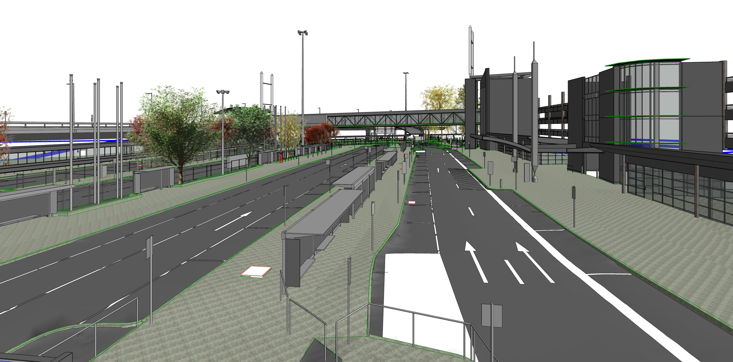
Accurate Topographical Modeling for Better Site Planning
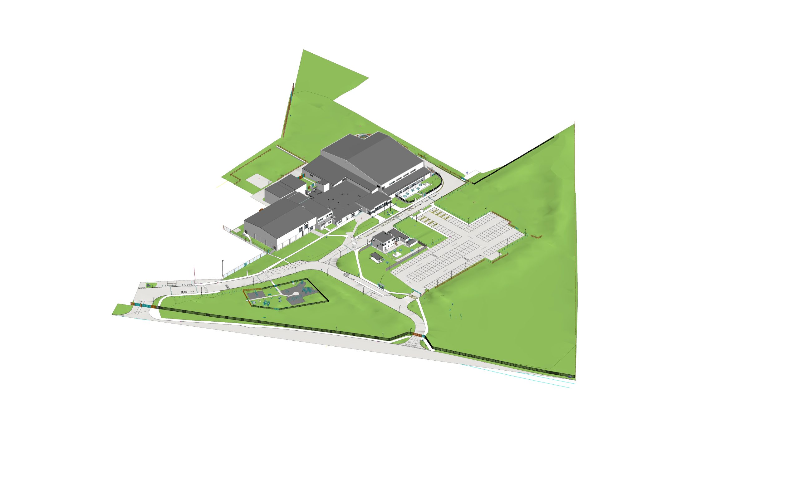
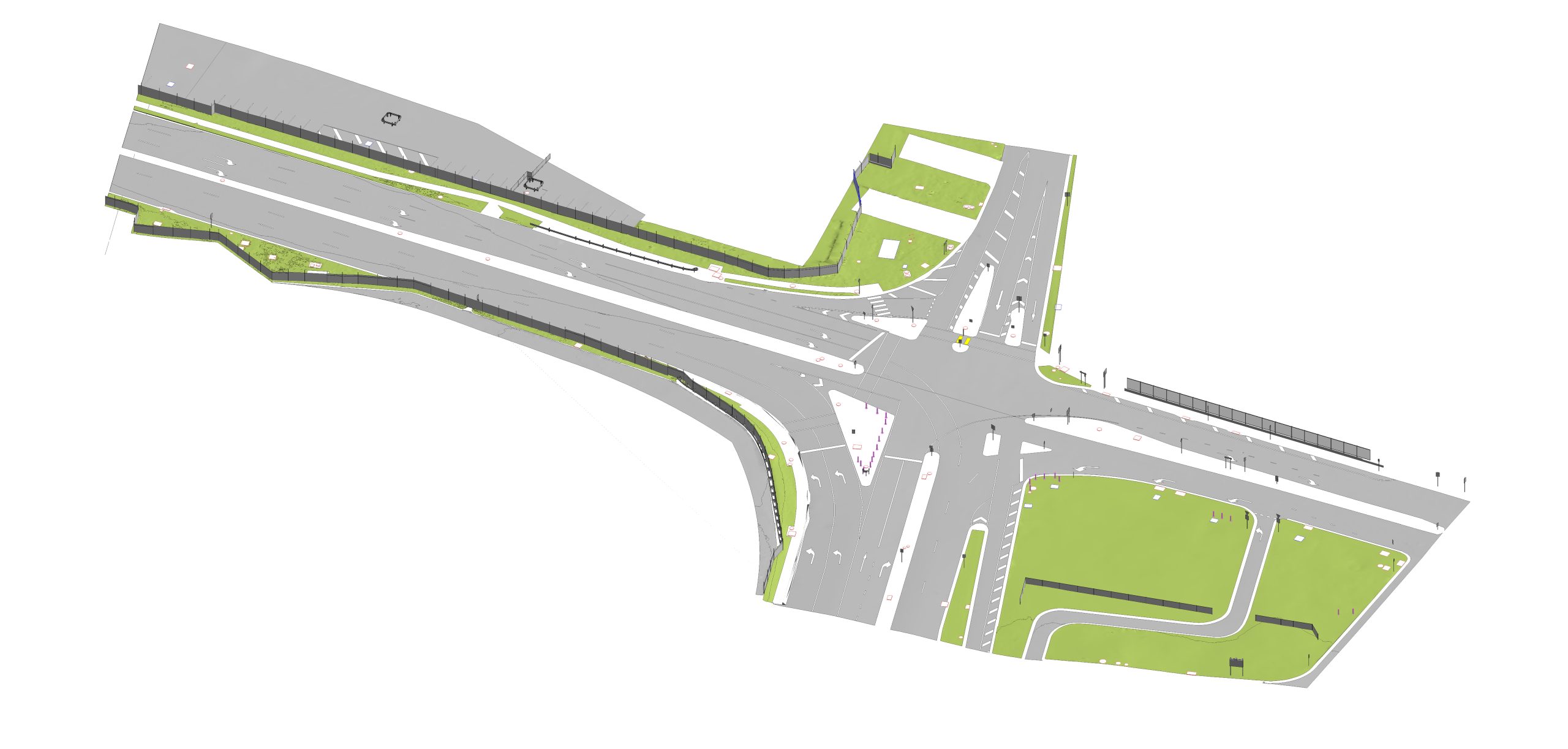
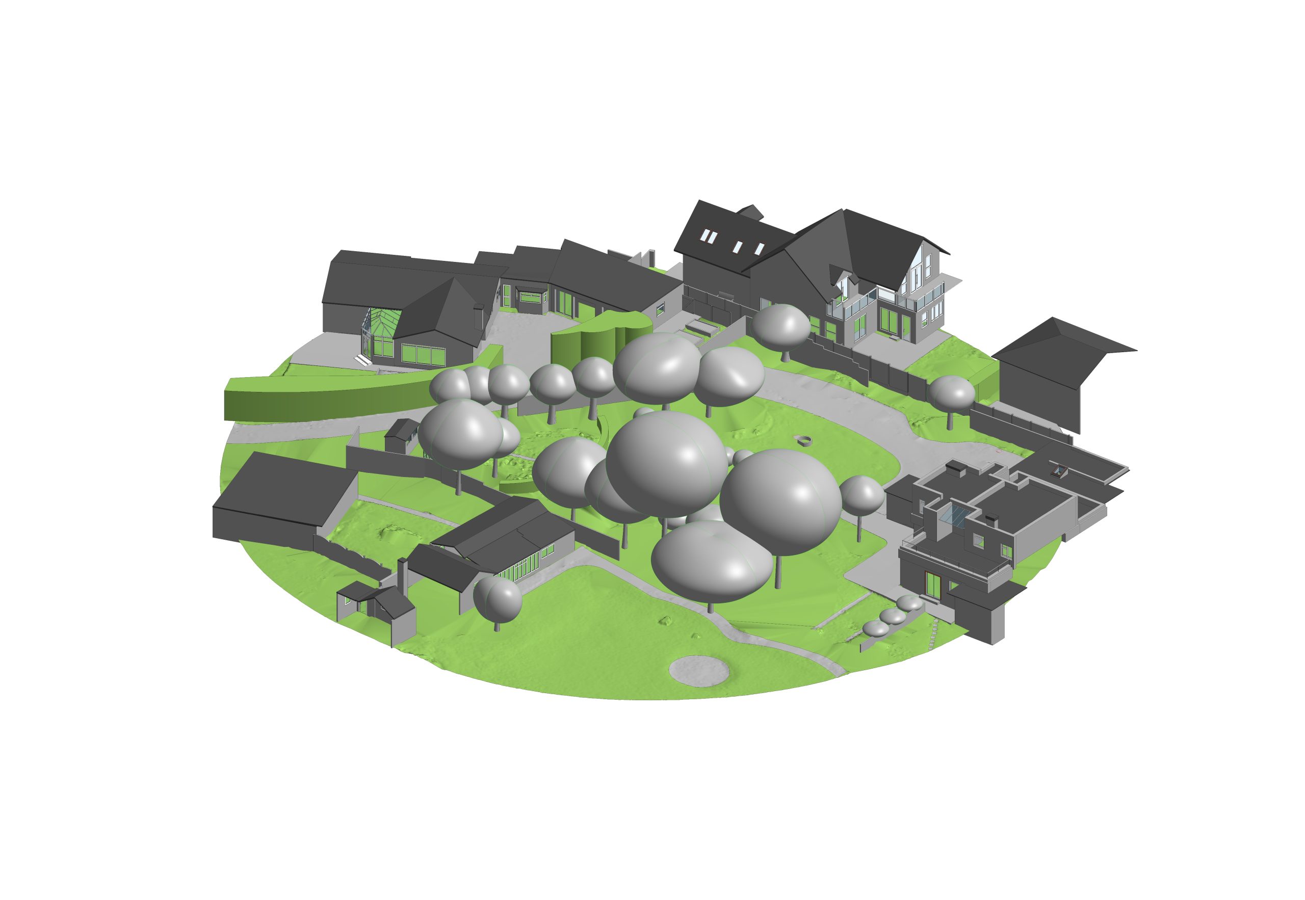
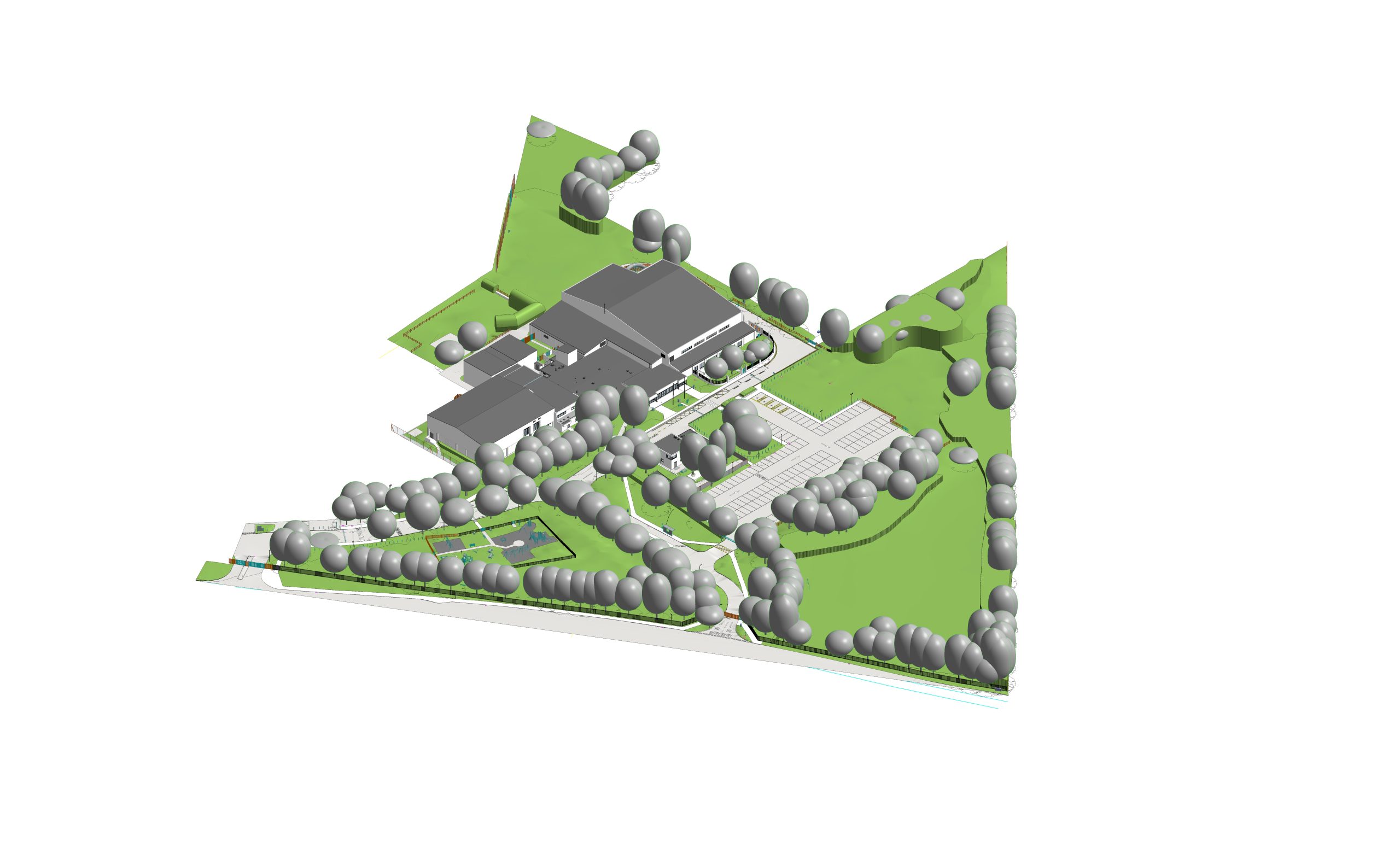
Topography is the process of representing the natural and existing features of a site, including elevations, contours, terrain, and levels. At Saran Bim Tech, we create accurate topographical drawings and 3D site models from survey data, point clouds, CAD files, and other source data.
Our Topography Services
Topographical Drawings – Create detailed site drawings showing contours, elevations, and existing features.
3D Terrain Modeling – Develop accurate 3D models representing the existing site terrain.
Contour Modeling – Generate precise contour lines based on elevation data.
Site Modeling – Create BIM-ready site models for planning and design.
Point Cloud to Topography – Convert point cloud data into detailed terrain and site models.
Elevation & Level Mapping – Represent accurate ground levels and site elevations.
Benefits of Topography
Accurate site representation
Better planning and design
Improved understanding of terrain
Supports construction planning
Helps identify elevation differences
Useful for infrastructure and development projects
Our Process
With 18+ years of experience and 800+ completed Point Cloud BIM projects, we deliver accurate, coordinated, and detailed BIM models according to project requirements and LOD standards.
Point Cloud Data
Data Processing
Terrain & Contour Creation
Quality Check
Final Deliverables
Feel Free to Contact Us
Get in touch with us today to discuss your project requirements and discover how Scanobee can make a difference in your digital construction journey.